
Examples

Live projects, not mockups.

These are published Epiloft projects. Open one, toggle the layers, check approximate frontage, and explore the 3D model. For planning and estimating. Not a survey.
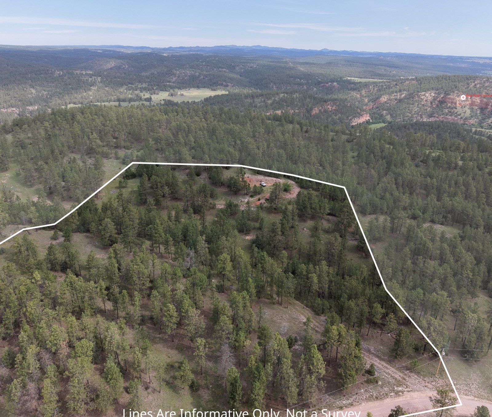
Drone photo of the Flagstone Drive property with its parcel boundary drawn on the image

Flagstone Drive

9.2 acres · Fall River County, SD · 37 frames

A wooded acreage listing with the approximate parcel boundary projected onto every photo, a full gallery, and the synced 3D view.

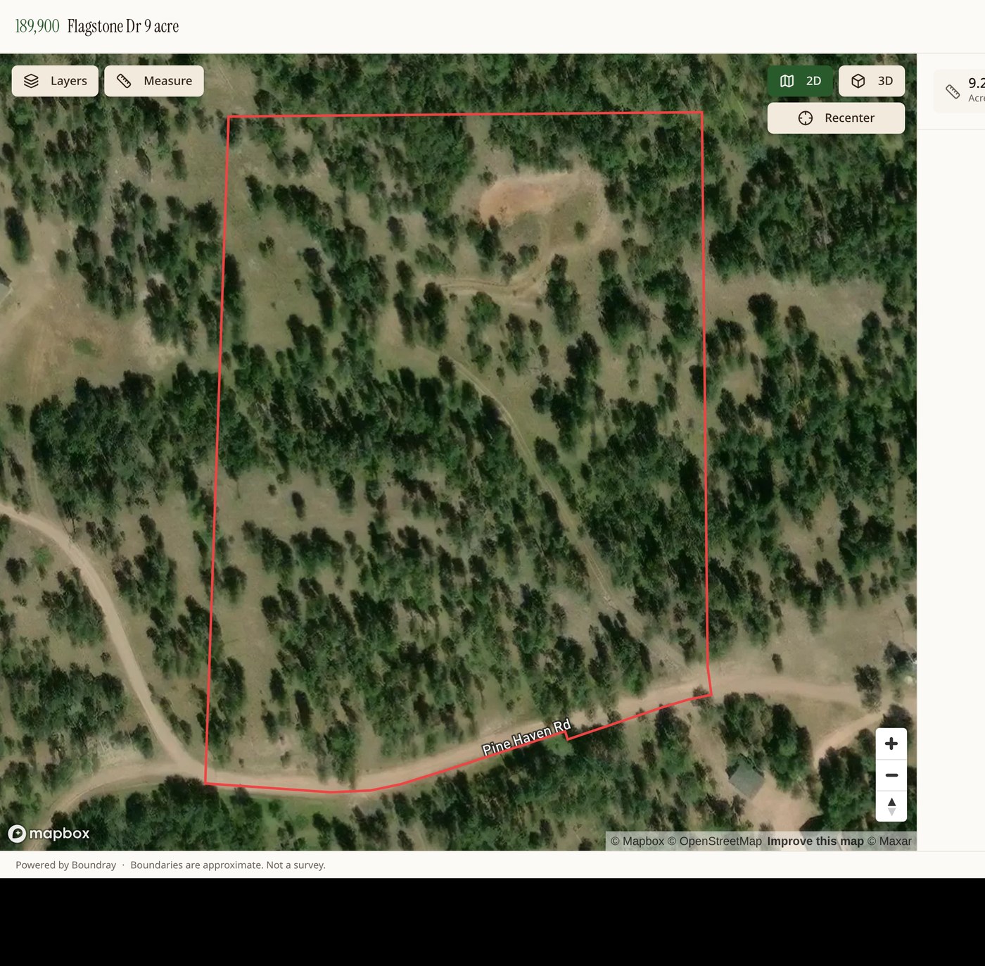
Epiloft map view of a South Dakota parcel with the boundary highlighted

Pioneer Road

Pennington County, SD

Parcel picked straight from county GIS, published with overlays and planning measurements for buyers. Not a survey.

Photo and 3D, side by side

Every published photo can open next to a 3D terrain view aimed at the same spot the camera was, with the same approximate parcel boundary and the same overlays. It is the fastest way for a buyer who has never stood on the ground to understand what they are looking at.
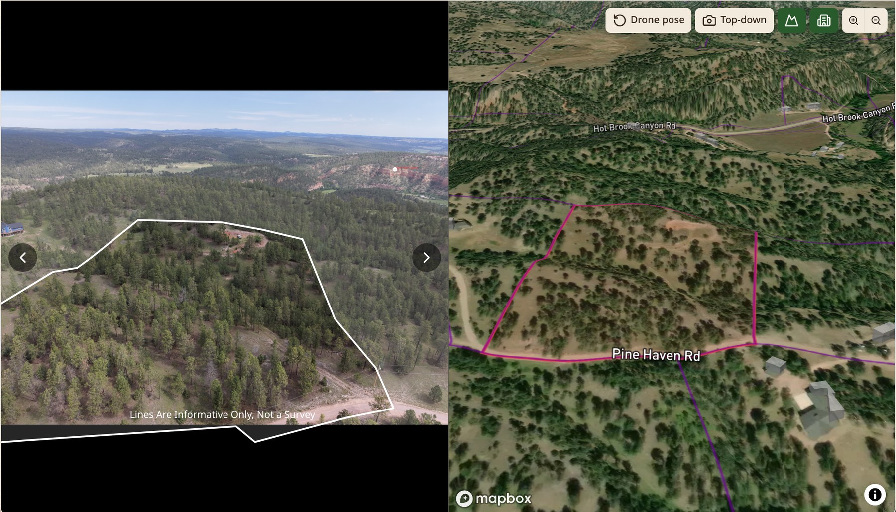
Epiloft lightbox showing a boundary-marked drone photo beside a matching 3D terrain view with parcel overlays

Want one of these for your listing?