
Your aircraft
Have a drone?
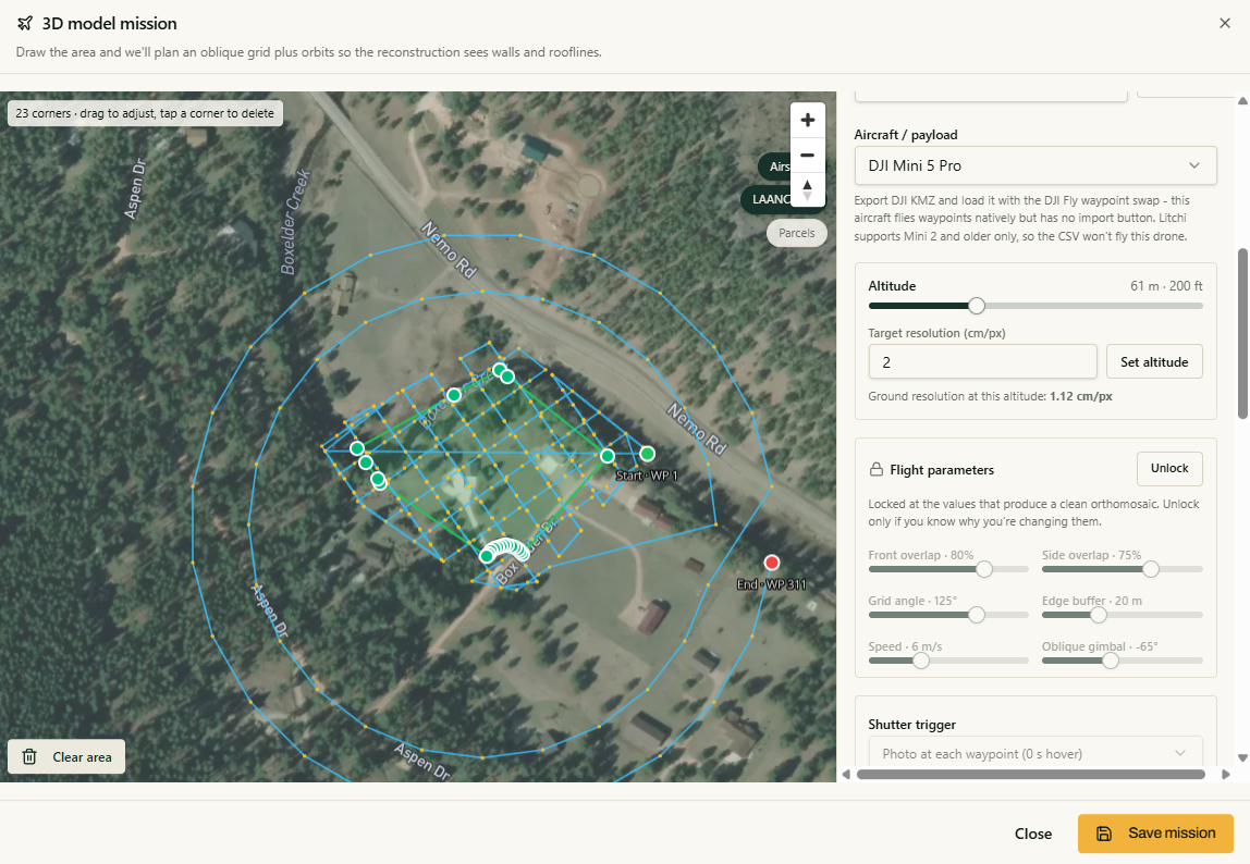
Pick your property and load the Epiloft mission plan. Altitude, overlap, angle, pattern and photo count are set for you. Fly it, upload the photos, and let cloud processing build the model.
A local capture partner
Don't have a drone?
Send a local pilot the mission plan. They fly it and upload the photos straight into your project. You process, measure and share on your side.
From property to useful answer
- STEP 1
Plan the mission
Outline the property and get a capture plan for the job.
- STEP 2
Fly it
You or a local pilot follows the same clear flight pattern.
- STEP 3
Upload to your project
The photos land in your account and process in the cloud.
- STEP 4
Analyze and share
Study the land, save planning takeoffs and send the views you choose.
The work stays in your project.
Choose the capture path that fits, then keep the map, photos, model and planning work together.
Boundaries and measurements are approximations for planning and estimating. Not a survey.