
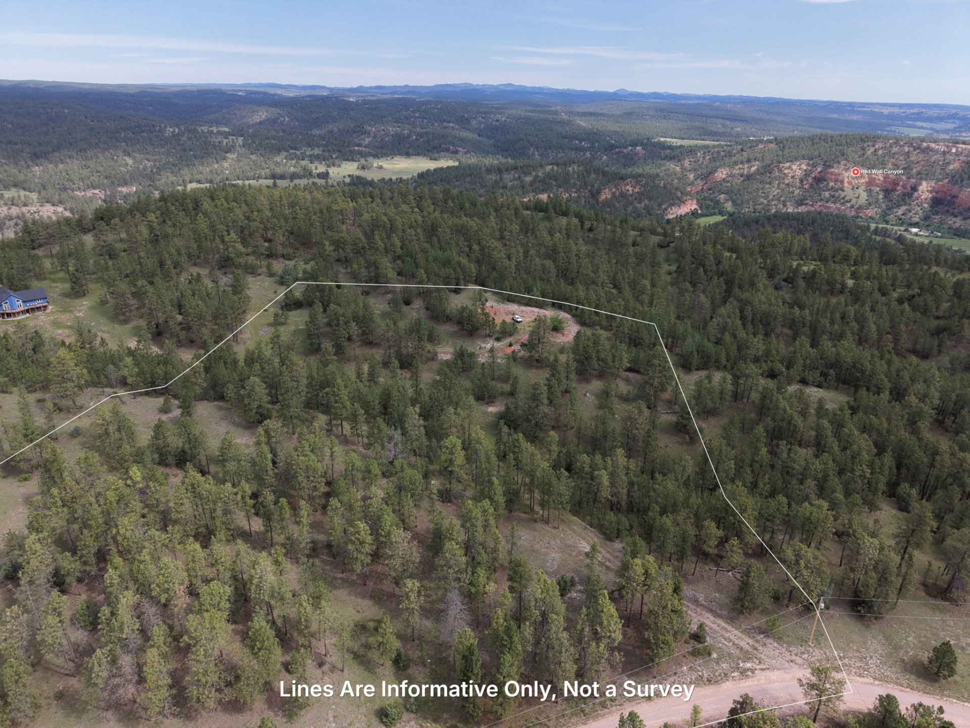
Land questions rarely wait for a perfect map
You walked the fence line and still aren't sure where it ends.
Put approximate parcel boundaries from county GIS on the map and photos. They help you get oriented, but they are not a survey.
You're buying 40 acres and can't tell which part you could build on.
Compare slope, terrain, FEMA flood zones and possible building areas before the next site visit. For planning and estimating. Not a survey.
Your family, lender, or partner needs to see it and can't drive out.
Send one share link with the map, photos and available 3D view.
See the property in layers
Approximate parcel boundaries
Public county GIS over current imagery, clearly labeled as an approximation.
Terrain and slope
Read the shape of the ground and spot gentle or difficult areas.
FEMA flood zones
See the mapped flood layer beside the parcel and terrain.
Owner lookups
Pull available public ownership records while you research.
3D flythrough
Turn a flown property in your hand instead of guessing from one aerial angle.
Share page
Send one link with the map, photos, labels and available 3D view.
A few good reasons to open the map
Ranch and pasture planning
Bring the property, terrain and questions into one view before making the next call.
Family and estate conversations
Bring the property, terrain and questions into one view before making the next call.
Buying raw land
Bring the property, terrain and questions into one view before making the next call.
Picking a shop or cabin site
Bring the property, terrain and questions into one view before making the next call.
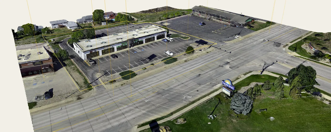
When you need a survey
Epiloft shows you approximately where things are. A licensed surveyor tells you exactly. Call one before you build a fence, build near a line, settle a dispute, or sell.
Start with the map
Explore anywhere, or keep one property organized and shareable.
Explore
Founding agent pricing$4.99/month
Lock in this rate for as long as your subscription stays active. Prices will rise as the platform grows; founding agents keep theirs.
Roam the map, inspect terrain and find the public records behind a property.
- Search and roam anywhere
- Approximate parcel boundaries
- Owner records
- Flood, contour and terrain layers
Need to build and measure a 3D model? See all pricing.