Nearby-place labels on drone photos and 360s
Show what is around a property, right in the aerial view: schools, parks, roads and the places that matter to your client.
Find useful nearby places
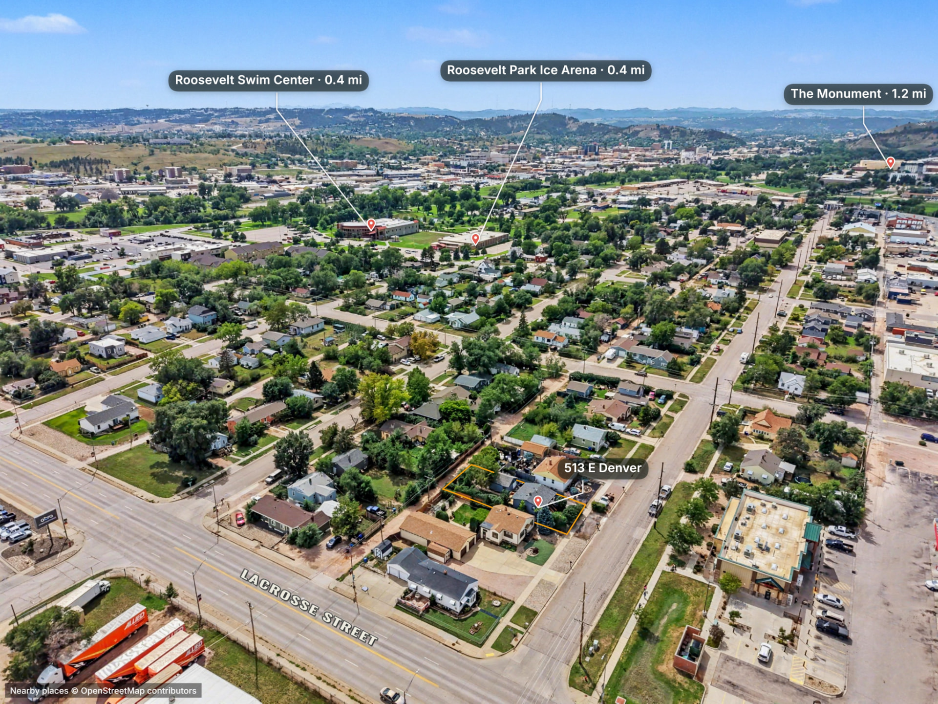
Epiloft uses camera information to place nearby points of interest in the view. Place data comes from OpenStreetMap contributors; review the names and choose the places relevant to this listing.
Make the labels your own
Restyle pins, reposition labels and add custom places, arrows or callouts. Keep the view readable instead of crowding it with every result.
Carry the context into delivery
Use place pins on still photos and 360 panoramas. The labels you keep travel with the edited photo or panoramic view on the client’s property page.
Questions about place pins
- Can I add a place that is missing?
- Yes. Add a custom pin and label rather than relying only on nearby-place results.
- Can I move a label without moving its pin?
- Yes. Pin and label positions can be adjusted separately to keep the place identified and the image readable.
- Do place pins work on 360 panoramas?
- Yes. Panorama place pins appear in the interactive view and exported panoramic image.
Try it on a real property
14 days free, no card. Up to 5 projects, 1,500 photos in total and 25 GB of storage. Share pages are preview-only and no 3D processing or AI Enhance credits are included.